
Stage 06 · Tue · Aug 11
High Plains
Amarillo, TX → Albuquerque, NM
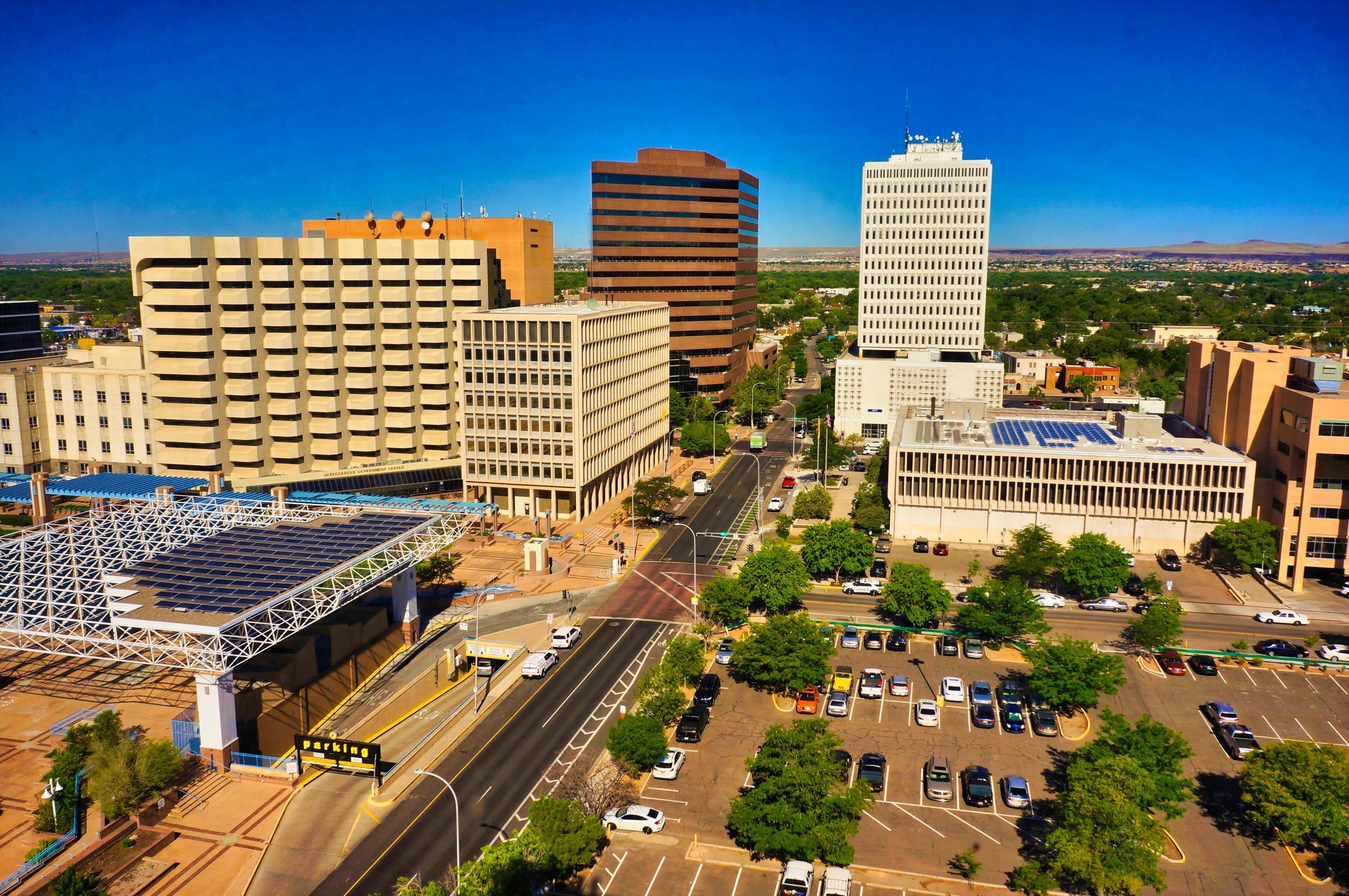
The Panhandle lets go slowly. Vega and Adrian mark the mathematical middle of Route 66 — 1,139 miles to either ocean-end of the road — and then the caprock breaks into New Mexico mesa country. Tucumcari is the leg's crown jewel: a two-mile museum of roadside neon, where the Blue Swallow Motel has kept its sign burning since 1939 and murals cover half the town. Santa Rosa's Blue Hole opens eighty feet of impossibly clear water in the middle of the desert. The road climbs steadily all day — the rally gains almost four thousand feet before Albuquerque's Central Avenue rolls out nine miles of vintage motels, tiled diners, and the Sandia Mountains turning watermelon-pink at sundown.
The stage map
5 waypoints on this leg — tap an icon on the map for the story. Peak 7,067 ft.
What to watch for
- Route 66 loreAdrian, TX — the exact midpoint of Route 66: 1,139 miles to either end
- Neon & motelsBlue Swallow Motel, Tucumcari — its neon burning since 1939
- The viewBlue Hole of Santa Rosa — eighty feet of impossibly clear water in the desert
- LandmarkThe caprock breaking into New Mexico mesa country
- Roadside oddityTucumcari's two-mile museum of murals and vintage signs