Stage 10 · Sat · Aug 15
To the Pier
Las Vegas, NV → Santa Monica, CA
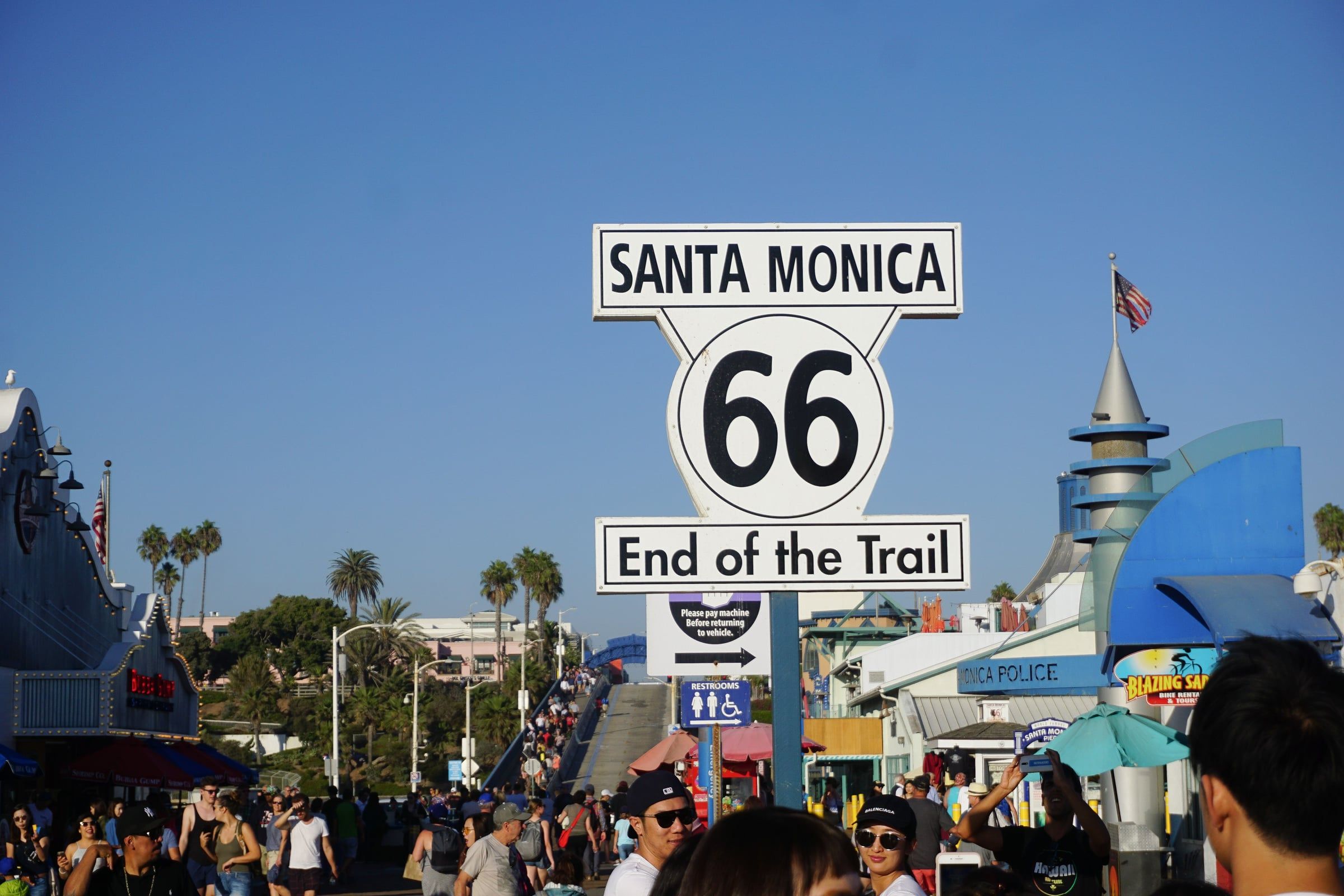
The last day starts in neon and ends in salt air. South out of Vegas the rally drops through the Mojave — the emptiest, hottest quarter of the whole route — rejoining the historic corridor near Barstow, where 66 and the railroad have run side by side for a century. The Bagdad Café still pours coffee at Newberry Springs. Victorville keeps the road's museum; the Cajon Pass funnels every westbound dream through one gap in the San Gabriels. Then it's boulevard driving — Foothill, San Bernardino, Pasadena — the road shedding desert for palm shade, until Santa Monica Boulevard makes its final, casual left toward the ocean. At the pier, a sign says simply: End of the Trail. Two thousand two hundred and eleven miles. Every one of them for a cause.
The stage map
5 waypoints on this leg — tap an icon on the map for the story. Peak 4,603 ft.
What to watch for
- Roadside tableBagdad Café, Newberry Springs — still pouring coffee in the middle of the Mojave
- LandmarkCajon Pass — every westbound dream funnels through one gap in the San Gabriels
- Route 66 loreCalifornia Route 66 Museum, Victorville — the last state's keeper of the story
- The viewSanta Monica Boulevard's final, casual left toward the ocean
- Roadside oddityEnd of the Trail sign, Santa Monica Pier — 2,211 miles, mile zero, the Pacific